Friday, 23 January 2026
Wednesday, 21 January 2026
Environment - shark attacks in Australia
![]() |
| Figure 1 Source: The Conversation (c) 2025 and NSW Government Sharksmart |
![]() |
| Figure 2: Source: The Conversation 2025 |
![]() |
| Figure 3: Source: The Conversation (c) 2025 |
Sunday, 11 January 2026
Environment - Bushfires can create weather
When bushfires make their own weather
Bushfires are strongly driven by weather: hot, dry and windy conditions can combine to create the perfect environment for flames to spread across the landscape.
But sometimes the relationship flips: fires can generate their own weather systems, which can then dramatically alter the spread and intensity of the blaze.
One of the most striking examples of this phenomenon is the formation of pyrocumulonimbus clouds — towering storm clouds born from fire.
How can a fire make winds and clouds?
Large bushfires release enormous amounts of energy – sometimes comparable to that emitted from a nuclear bomb. This heats the air in the vicinity of the fire, causing it to rise rapidly in a powerful, buoyant, fire-driven updraft.
Surrounding air rushes in at ground level to replace the rising hot air, feeding the fire with oxygen like a bellows and sometimes accelerating its spread. In extreme cases, the fire and its induced winds can become a self-sustaining system, feeding and growing from the weather it creates.
If the plume rises high enough it can cool to a temperature where the water vapour in the plume will begin to condense into clouds. This is essentially the same process that leads to the formation of ordinary cumulus clouds, except it occurs within a fire’s plume and is called pyrocumulus.
Fire-generated thunderstorms
If the fire is large and intense enough, the plume can keep rising. As the cloud rises above altitudes of around 3–5 kilometres, temperatures can drop well below freezing. Water droplets freeze into ice crystals, releasing another burst of latent heat that further energises the rising plume.
The rapidly rising plume now contains ice and supercooled water — a mixture that is key to thunderstorm-like processes. It is through this process that a fire-generated thunderstorm is born, a pyrocumulonimbus cloud.
Pyrocumulonimbus clouds can reach altitudes of 10–15 kilometres, penetrating the stratosphere.
Inside them, strong vertical motions generate turbulence, with ice and water droplets colliding and causing the separation of electrical charges. This can result in lightning, often striking far from the original fire front and in some cases igniting new fires.
These clouds can rise so high that they leave a clear signature visible by satellite, including a long shadow cast over the rest of the cloud and smoke. The first pyrocumulonimbus for this summer may have happened yesterday near the border of NSW and Victoria.
Lightning was detected nearby but this was among lightning occurring in many places across the Southeast states, so it may have just been pyrocumulus clouds, which can still present a significant threat. For example, the deadly 2019 Jingellic fire, which produced tornadic winds, developed a towering pyrocumulus but not a pyrocumulonimbus.
The strong updrafts created by pyrocumulonimbus can cause gusty conditions accelerating fire spread and making it less predictable. The storm can produce a strong updraft bringing fresh air in underneath to the fire, while flinging burning embers over 40km potentially creating new fires. At the same time, strong downdrafts created by the storm can flatten trees and create dangerous conditions for firefighters.
When does this happen?
Not every bushfire spawns its own weather. Pyrocumulonimbus formation requires a delicate balance between the size and intensity of the fire and the stability of the atmosphere.
Firstly, the fire must be large and intense enough to release massive amounts of heat. Secondly, the surrounding atmosphere needs to be suitably conducive to vertical motion. Both of these together allow for the plume to rise.
Third, moisture in the mid-levels of the atmosphere can enhance the chances of pyrocumulonimbus formation. Moist mid-level air can get caught up in the rising plume and then add to latent heat release when it condenses and freezes, which keeps the plume rising.
The future of fire and thunder
Fire-generated thunderstorms were practically unheard of a few decades ago, but they appear to be becoming more common.
One notable example is the unprecedented number that occurred during the Black Summer of 2019–2020. Other outbreaks include around Melbourne in the Black Saturday fires of 2009 and the Canberra fires in 2003.
In all of those cases, the thunderstorms were so intense they injected smoke into stratosphere, where it circled the Earth and affected global climate patterns. Other examples of extreme weather they can cause include fire-generated tornadoes, as well as black hail in the Canberra fires.
Human-caused climate change has already caused more dangerous weather conditions for bushfires for many regions of Australia, including more dangerous conditions for fire-generated thunderstorms.
Observations show more dangerous conditions are now occurring during summer and also with an earlier start to the fire season, particularly in parts of southern and eastern Australia. These trends are very likely to increase into the future, with climate models showing more dangerous weather conditions for bushfires and fire-generated thunderstorms due to increasing greenhouse gas emissions.
Why understanding this matters
Understanding how bushfires can create their own weather is crucial for forecasting and emergency response. Traditional fire behaviour models often assume that weather drives fire, but when fires start driving weather, those models can fail.
Incorporating prediction of fire-generated clouds into fire management systems helps authorities anticipate sudden changes in fire intensity and spread. Targeted research incorporating satellite monitoring and advanced atmospheric modelling is now being used to better understand and detect conditions favourable for pyrocumulonimbus formation.
This knowledge allows for better warnings, resource allocation, and strategies to protect lives and property.
Bushfires are no longer just a local hazard — they can become atmospheric engines with global reach.![]()
Jason Sharples, Professor of Bushfire Dynamics, School of Science, UNSW Canberra, UNSW Sydney; Andrew Dowdy, Principal Research Scientist in Extreme Weather, The University of Melbourne; Luke Burgess, PhD Candidate, Weather and Fire Extremes, The University of Melbourne, and Todd Lane, Professor, School of Geography, Earth and Atmospheric Sciences; ARC Centre of Excellence for the Weather of the 21st Century, The University of Melbourne
This article is republished from The Conversation under a Creative Commons license. Read the original article.
Wednesday, 7 January 2026
Sentinel Owl - Monthly data for December 2025
![]() |
| Shutterstock |
Total pageviews (all time): 674,592
- Singapore: 15.8k
- US: 8.23k
- Brazil: 2.56k
- India: 1.08k
- Hong Kong: 664
- China: 465
- UK: 410
- Argentina: 376
- Mexico: 324
- Germany: 253
- Indonesia: 236
- Vietnam: 168
- Malaysia: 159
- Netherlands: 147
- Philippines: 125
- Ecuador: 128
Tuesday, 6 January 2026
Opinion - International Relations - Drones used in the Russia Ukraine War
The Russian - Ukraine war can be best described as a 'drone war' given the advances in technology and tactics that have accured. The guide below provides insight into the variety of drones in use on the battlefield and the advances that have added this lethal new weapon into arsenals.
A visual guide to 14 of the drones wreaking havoc in Ukraine, Russia and beyond
In the past five years, uncrewed aerial vehicles (drones) have become indispensable in modern warfare. The Russia–Ukraine war has accelerated their ascent: on any given day, there may be hundreds or even thousands of drones operating across the frontlines and behind them.
Cheap, mass-produced consumer technology is the foundation for this growth. Militaries are adapting commercial designs to produce a diverse array of deadly tools.
FPV drones
In sheer numbers, first person view (FPV) drones now dominate the war. Pilots fly them by remote control, sitting in a nearby position and wearing virtual reality goggles to see through the drone’s camera.
FPV drones are very fast, highly manoeuvrable, and often attack by crashing into moving targets and exploding. They are used to strike armoured vehicles, to intercept helicopters and hostile drones, drop anti-personnel mines, and to land near roads and wait to ambush enemy vehicles.
Russia’s main FPV drone is the Molniya-2. Made from plywood, each one can be assembled for less than a thousand dollars using mostly commercial parts, then armed with repurposed mortar or artillery shells.
Russia plans to make two million FPV drones this year.
To avoid radio jamming, Russia has begun controlling these drones via fibre optic cables up to 40 kilometres long. The battlefield is now littered with tens of thousands of very thin fibre optic cables.
FPV drones are also beginning to incorporate artificial intelligence (AI) – at first to assist pilots, and later for greater autonomy.
The Australian Defence Force (ADF) has so far only engaged with FPV drones by racing commercial devices in multinational competitions.
Multi-copter drones
Multicopters are more general-purpose and easier to operate than FPV drones. They can be used for battlefield reconnaissance, intercepting hostile drones, electronic warfare, GPS jamming, communications relay, delivering packages and dropping small mines or bombs. Many are commercial drones modified with different kits for different missions.
Russia commonly uses small hobbyist quadcopters such as the Chinese-made DJI Mavic 3, the DJI Matrice and the Autel EVO II.
There are also larger purpose-built machines, such as the MiS-150 quadcopter and MiS-35 hexacopter, which can carry payloads up to 15 kilograms. The in-development Buran hexacopter can carry a whopping 80kg.
The ADF operates the R70 Sky Ranger quadcopter for airbase surveillance and defence tasks.
Aircraft-style drones
Winged drones come in two broad groups: one-way (kamikaze or loitering) and reusable.
One‑way drones are used for long‑range strikes against cities, transport and infrastructure. Russia mainly uses the Geran series, which it manufactures in a giant factory 1,000km east of Moscow from designs based on Iran’s Shahed drones.
The medium-sized Geran is most common, used for long-range strikes against Ukrainian cities, transport networks, and civilian and military infrastructure.
By late June 2025, Russia had fired some 29,000 Gerans, and it can now make 2,700 more each month. Simplified versions with no warhead are also used as decoys to distract air defences – not only in Ukraine, but also in Poland and Romania.
The main reusable drones are the Orlan-10 and the ZALA 421. These provide battlespace surveillance and help coordinate artillery and FPV drone strikes on Ukrainian targets.
Orlan-10s are now being also used as motherships carrying and launching smaller FPV drones.
Another reusable drone is the ZALA Lancet, used for both reconnaissance and strike missions. It is a so-called “loitering munition”: it can be launched, stay in the air for some time, identify targets with an onboard camera, and then attack if its human operator commands. More sophisticated than FPV drones, these are also far more expensive.
The ADF operates several reconnaissance drones similar to the Orlan-10: the Shadow Tactical, Wasp AE and Puma AE.
The ADF has also recently purchased some loitering munitions: the Switchblade 300 and OWL.
The ADF also operates the very large Triton maritime surveillance drone, which has no Russian equivalent, and is developing the Ghost Bat, a high-speed drone able to assist fast jet fighter and strike aircraft.
Counter-drones
Counter-drone technology is in high demand. However, drones are small, fast and numerous, which makes it inherently difficult to defend against them in a comprehensive way.
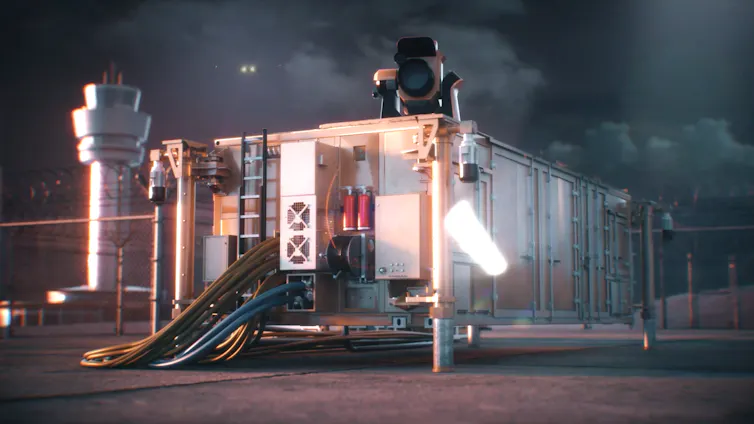
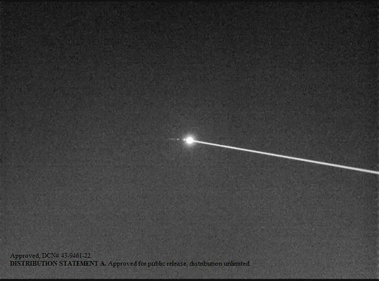
Counter-drone systems include combinations of warning sensors, backpack and vehicle-mounted electronic jammers, gun systems, surface-to-air missiles, laser devices and electromagnetic pulse systems.
FPV and multicopter drones are too small for fighter aircraft to counter them. However, larger aircraft-like drones are more vulnerable. New air-launched rocket systems now allow fighters to shoot down a dozen Gerans during each sortie.
As drones become even more widespread and diverse, the balance between cheap mass-produced attack platforms and effective, adaptable defences will shape the conflicts of the future.
Image credits
Molniya: Militaer Aktuell;
Fibre optic drone: АрміяІнформ/Wikimedia;
MiS-150: Lamp of Knowledge/YouTube;
MiS-35: United24 Media;
R70-skyranger: ELP;
Geran-2: Scott Peterson/Getty Images;
Orlan-10: Mike1979 Russia/Wikimedia;
Zala 421: Airforce Technology/JSC Concern;
Zala lancet 3: Vitaly V Kuzmin;
Puma-3-AE: Naval Technology/Business Wire;
Wasp-AE: Sgt. Janine Fabre, Australian Defence. Infographics: Matt Garrow/The Conversation.![]()
Matt Garrow, Editorial Web Developer, The Conversation and Michael Lucy, Science Editor, The Conversation
This article is republished from The Conversation under a Creative Commons license. Read the original article.